Khôra
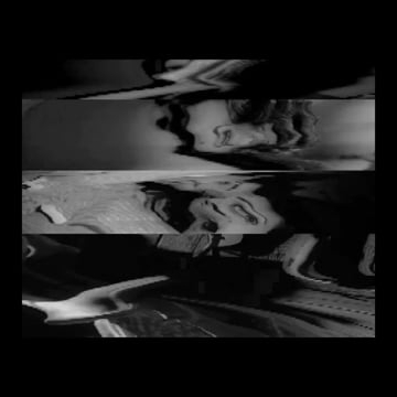
LIDAR is a range sensing technology that measures distance to a target by illuminating it with a laser beam. By measuring the time of flight of each light pulse, we are able to recreate an accurate depth map of the scene. It is typically employed by the military to survey the land from above.This project is a topographical study of the inside of a Pittsburgh bus. I was interested in the line between proximity and distance which connects strangers in public places. Behavior and thought can be translated through position, stare and reaction to physical contact. I tried to capture human behavior by the means of a three-dimensional point mesh. The LIDAR ables you to see through space and beings, providing a more truthful depiction of the environment and its inhabitants.


